 OGOR
OGOR
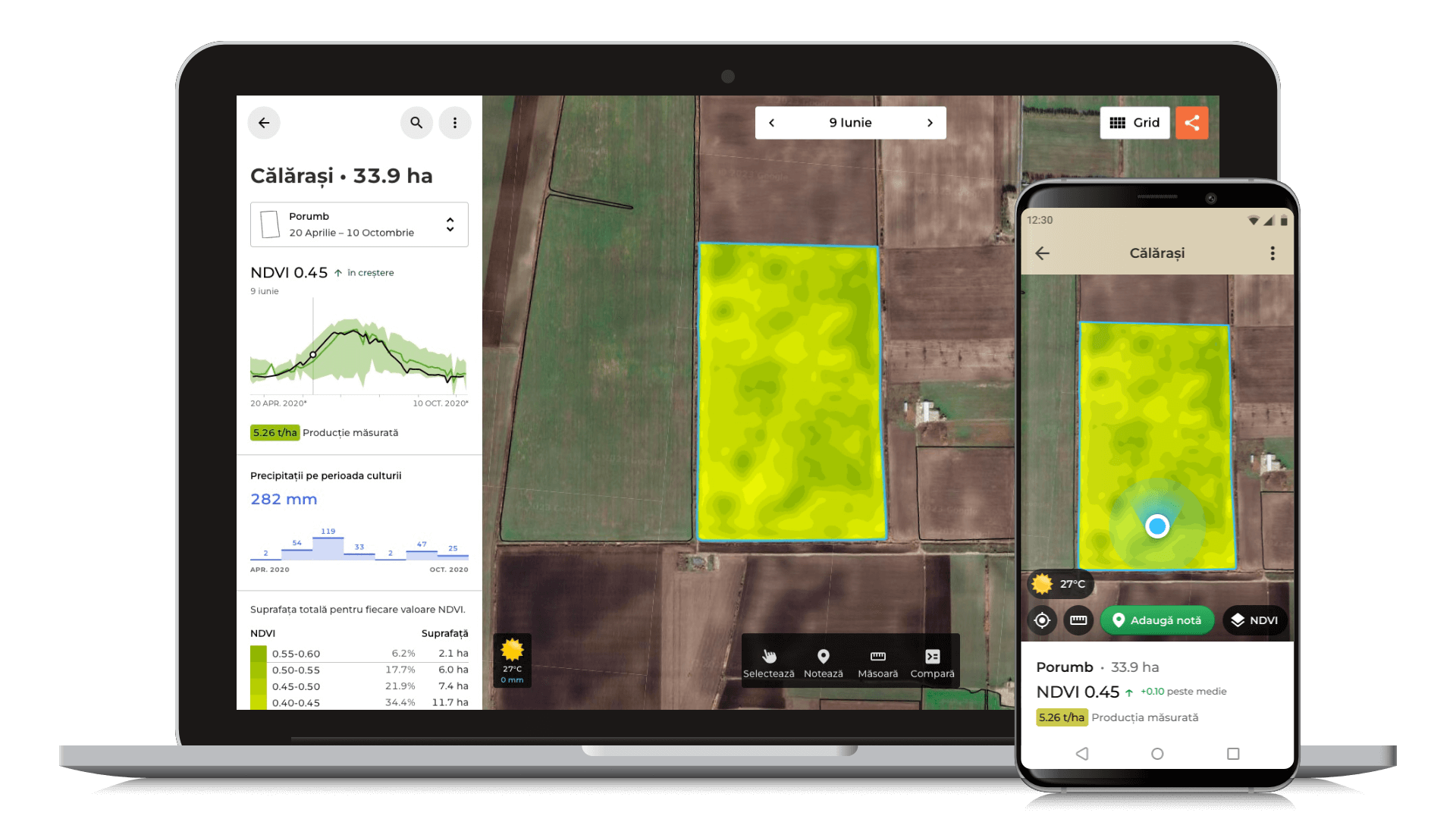
OGOR processes satellite data across the entire surface of Romania every week to produce vegetation maps for 300+ farmers.
Founded in 2019, our company specializes in processing satellite data for agriculture. We collaborate with farmers, agronomists, and researchers to provide accessible remote crop monitoring and precision agriculture solutions.
OGOR OGOR processes satellite data across the entire surface of Romania every week to produce vegetation maps for 300+ farmers.
 OGOR Yield
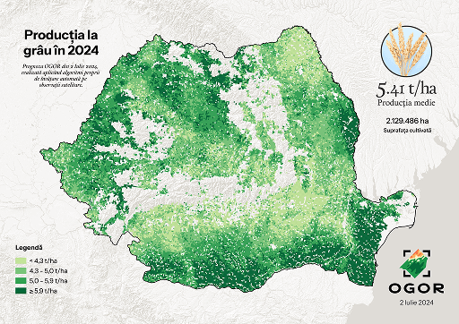
 By applying proprietary machine learning algorithms to satellite imagery and pedoclimatic data, OGOR produces yield forecasts 2 months before harvest.
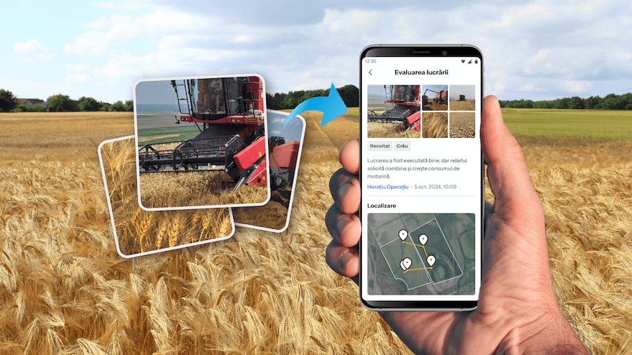
 OGOR Journal
 With OGOR Journal, all crop and work reports are organized, with photos and comments automatically geotagged.
![]()
![]()

 OGOR Plan
 The technological sheet for each crop. Track the execution of work and keep records of costs and profits throughout the season.
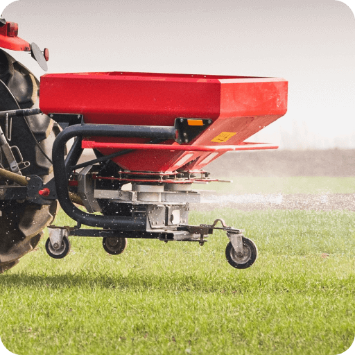
 OGOR VRA
 Create VRA maps in 10 minutes or less. VRA — Variable Rate Application — allows adjustment of treatment quantities by zone to optimize amendment costs.